


Fontenelle en Brie du 25-01-2024

VANDERPUTTENMi
User GUIDE
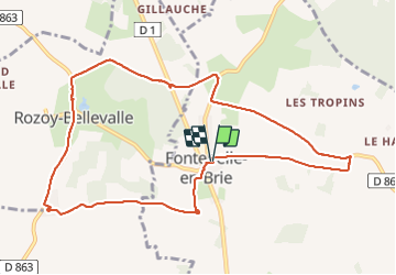

Length
10.2 km

Max alt
224 m

Uphill gradient
82 m
Km-Effort
11.3 km

Min alt
188 m

Downhill gradient
83 m
Boucle
Yes
Creation date :
2024-01-25 12:51:46.931
Updated on :
2024-01-27 17:19:14.495
2h33
Difficulty : Medium

FREE GPS app for hiking
 SityTrail
IGN / Geographical institutes
SityTrail Plus
The world is yours!
About
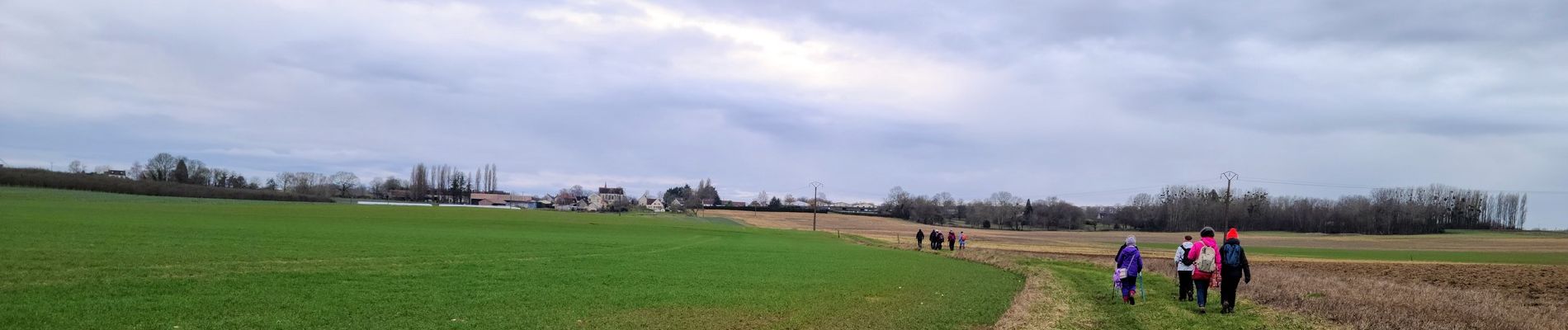
Trail Walking of 10.2 km to be discovered at Hauts-de-France, Aisne, Dhuys et Morin-en-Brie. This trail is proposed by VANDERPUTTENMi.
Photos

Positioning
Country:
France
Region :
Hauts-de-France
Department/Province :
Aisne
Municipality :
Dhuys et Morin-en-Brie
Location:
Fontenelle-en-Brie
Start:(Dec)
Start:(UTM)
535026 ; 5418615 (31U) N.
Comments